 |
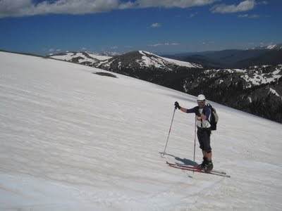
| Dave demonstrates proper ski pole grip. |
I collected Cheryl, Bob, and Jeff at the CMC. From there we headed to Boulder where we met up with Judi and Dave, then onward to Estes Park and through the toll gates at RMNP. Traffic was noticeably lighter than on the 4th of July weekend as expected, and we had our pick of spots at the Rock Cut parking area. We strapped the skis on the packs at the staging area / sidewalk by the trailhead. Wildflowers were again abundant, including fairy primrose, cinquefoil, forget-me-nots, and new this week, old man of the mountain.
The cloudy and cool weather was a big change from the sunny slopes of last week, but we figured that it helped to preserve the snow conditions.
 |
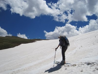
| Judi prepares to ascend the trail. |
 |
| Cheryl packs her skis up the trail as clouds loom in the background. |
Once on the snow, we found about an inch of softened snow on a firm base. We wasted no time unpacking the skis and making a run. Half the group descended an additional 200' below last week's 700' runs, but the ace skiers took the prize extending the run to a full 1800' to about 10,500', just a couple hundred feet from the bottom.
 |
| Dave tears up the slopes. |
 |
| Jeff sets his edges as the slope increases. From a video by Dave. |
 |
| Bob leads the pack down the run. From a video by Dave. |
 |
| Cheryl cruises the slopes. From a video by Dave. |
 | ||
| Tom takes a few turns. From a video by Dave. |
All too soon it was time to climb back up. Even at our relatively lofty turnaround at 11,375', it was tough to get a grip with kick steps or skins. The guys down at 10,500' later reported a similar experience, though a bit more intense.
The upper group reached the top first, had some lunch, then headed down for a second run. On the way we met up with the lowland skiers who seemed relieved to be approaching the top. We quickly reached the bottom of the second run, and we were joined by the wayward lowlanders at the end of their second run.
Dave makes some some turns.
Bob leads the pack. Video by Dave
Jeff fait du ski randonee. Video by Dave.
Cheryl is queen of the quick turns. Video by Dave.
At the bottom of the run, we were all gung ho for another run. After a 700' climb (and two rain showers), our enthusiasm waned. I called it a day for safety sake (yeah, that's it) and we headed back to the cars.
After packing up, we made a quick trip to the Alpine Visitor Center, where we could look back down the valley to the Sundance snow field.
 |
| Down valley view from the Alpine Visitor Center. Sundance snowfield sliver in center of picture. |
 |
| Dave's Google Earth 3D view from Alpine Visitor Center. Dave's and Jeff's track in blue. |
 |
| Cornices from the visitor center. "We could ski that." |
After much discussion of possible future runs, we rolled down the hill to Oskar Blues in Lyons for refreshment.
Though some claim the season is done, others dream of finding good runs throughout the summer. We'll see if plans for Rollins Pass in August pan out.
Thanks to everyone for the great skiing on Saturday and throughout the year! It wouldn't be as much fun without you.
Stats: 2 runs / 3-4 mi / 1700-2600'
 |
| Tracks and slope map. |
 |
| 3D tracks from Google Earth. Looks steep even without vertical exaggeration! |


